Travel Time Estimation System
Travel Time Estimation System

Travel Time Estimation System
In today’s increasingly dense urban landscapes, traffic congestion is an ever more prevalent issue. As flows of goods and people increase, billions of dollars in potential savings are at stake, making the understanding of traffic patterns a major transit planning priority. The main goal of traffic studies is travel time estimation, which in the broadest sense consists of evaluating the time necessary to travel to the destination. Travel time estimation is often combined with the related goal of routing, especially in the short to medium-term planning case. In the field of ITS, travel time is one of the most valuable information for both vehicle drivers and traffic managers. In advanced traveller information system (ATIS), updating travel time for drivers in real time enables them to make informed decisions on their route choices to avoid congested roads. In Advanced Traffic Management System (ATMS), based on proper analyses of traffic states in relation to travel time information, traffic managers can develop various control and operational strategies to reduce road congestion and traffic flow analysis, including short-term prediction using neural network techniques and long-term forecasts using fuzzy theory. Hence, proper estimation of travel time on each road in a real-time manner is crucial for further development and implementation of ITS. Travel time information can be obtained indirectly or directly. The indirect ways usually estimate travel time based on traffic flow and speed measured by point sensors on the roadside such as loop detectors, video cameras, and radars. The direct ways measure the travel time using records at tollgates and roadside units (RSU), which are parts of automatic vehicle identification (AVI) technologies. The use of Global Positional System (GPS) on the probe vehicles equipped with navigation devices or smartphones is another direct way of travel time measurement, and this is the recent technology increasingly used due to wide spatial coverages and low operational costs.
VaaaN’s Travel Time Estimation System (TTES) uses Automatic Vehicle Identification (AVI) technologies such as ANPR, RFID, Bluetooth etc to identify vehicles between two or, multiple locations. These are then used to calculate Travel Time between two or, more locations.
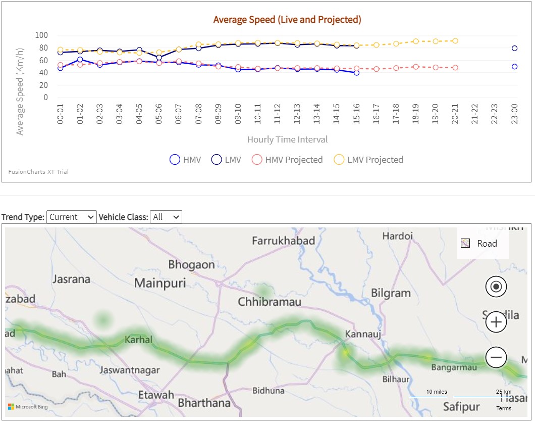
Provides class wise average speed &
predicted speed calculated through AVI & Machine Learning based Estimation
Techniques.
Handles outlier AVI data.
As an add-on, the System can identify
vehicles which frequently use the Highway.
The system provides a measure of
traffic flow type on GIS/maps in “Green / Yellow / Red”.
The system aids commuter in route planning on
associated Mobile App.

